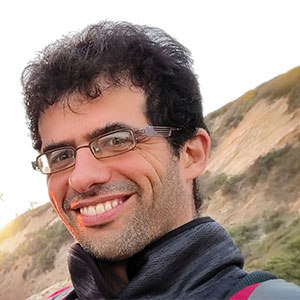
Introducing Dr Achituv Cohen

Ever since I was a child, I have been captivated by maps. I vividly remember sitting on the kitchen floor, plotting imaginary journeys across crinkled paper maps with toy cars in hand. Each line and symbol led to new worlds and grand adventures in my mind. As I grew older, maps became more than childhood games—they guided my real-life explorations. Before digital navigation, I was the one entrusted with maps on family trips, eagerly leading the way through tangled streets. My passion went beyond reading maps; I immersed myself in city rhythms, walking streets and using public transportation. Walking was more than travel—it was a connection to my surroundings. Today, as a researcher, I’ve combined these passions, using maps, spatial data, and technology to make cities more accessible, inclusive, and sustainable, focusing on active transportation solutions.

When I first embarked on my academic journey as a master’s student, my focus was on understanding how the urban environment impacts vulnerable groups, particularly blind pedestrians. Our initial aim was to determine the optimal routes for visually impaired individuals based on their starting points and destinations. This work evolved as we developed an index to evaluate accessibility levels for blind pedestrians across different urban areas. Through our research, we discovered that pedestrian traffic plays a critical role in determining route choices for blind pedestrians, as it affects their sense of safety and comfort. However, acquiring accurate data on pedestrian traffic patterns proved challenging, as such data was often scarce or inaccessible for every street. To overcome this, we adapted Bluetooth systems originally designed for analyzing vehicular traffic, using them to estimate pedestrian flow. Additionally, we leveraged machine learning algorithms and open-source platforms like OpenStreetMap to predict pedestrian traffic patterns.
Over time, my research expanded to encompass not just blind pedestrians, but all pedestrians and active transportation users. I sought to understand their behaviors and needs within urban environments through various geospatial approaches. One of my collaborative endeavors was with Dr Asya Natapov, where we developed an open-source plugin aimed at enhancing the understanding of sightlines between street intersections and points of interest. This tool was designed to improve wayfinding, enhance pedestrian safety, and better orient pedestrians by revealing how urban structures influence visibility and movement.
Reflecting on my journey, I am grateful for the opportunity to share insights from my past and current research and to explore the challenges that lie ahead. Together, I believe we can continue to shape urban environments that are not only more accessible and inclusive but also sustainable for generations to come.
Dr Achituv Cohen